
Overview
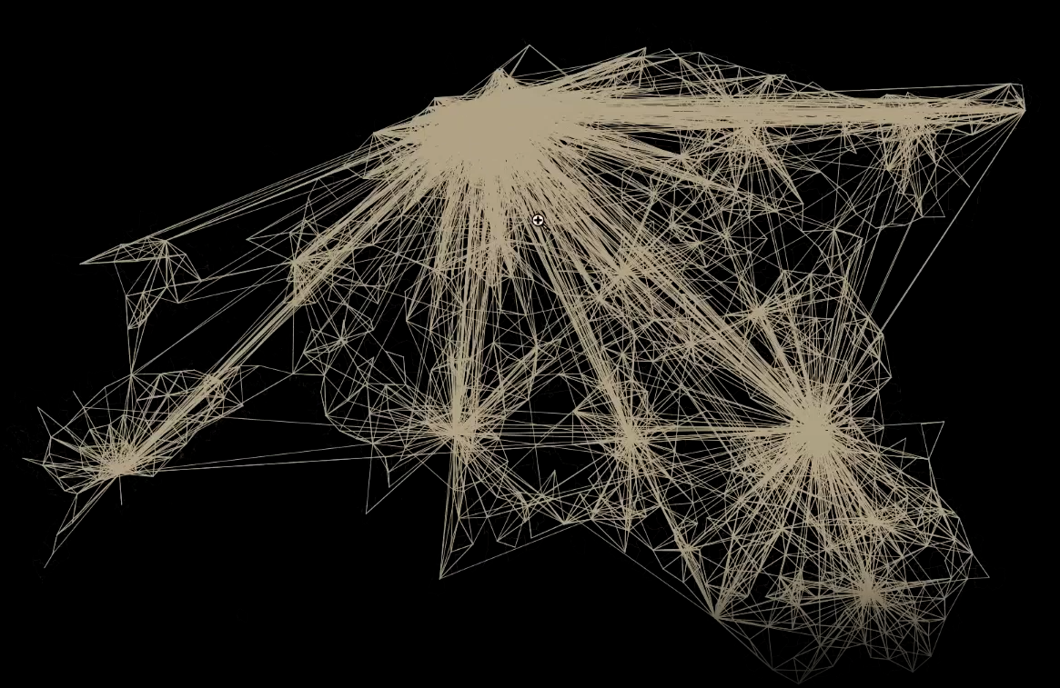
This project explores migration dynamics across Estonia&aposs territorial communities in 2018, highlighting key urban centers and tracing migratory flows influenced by job opportunities, lifestyle changes, and social networks.
Design & Execution
Beyond data analysis, the map serves as an example of artistic cartography. It combines advanced GIS techniques with creative visualization to transform raw data into an engaging and accessible narrative.
Data & Visualization
The project utilizes linestring representations to depict movement. For an in-depth look, download the high-resolution map to explore the intricate details and visual contrasts.